Term 3 Week 3
Section outline
-
Term 3 Week

Awhinatanga: Culturally Connected

Awhinatanga: Positive Partnerships

Ako: Digital Literacy

Kia ora koutou,
Ehara taku toa i te toa takitahi, engari he toa takitini.
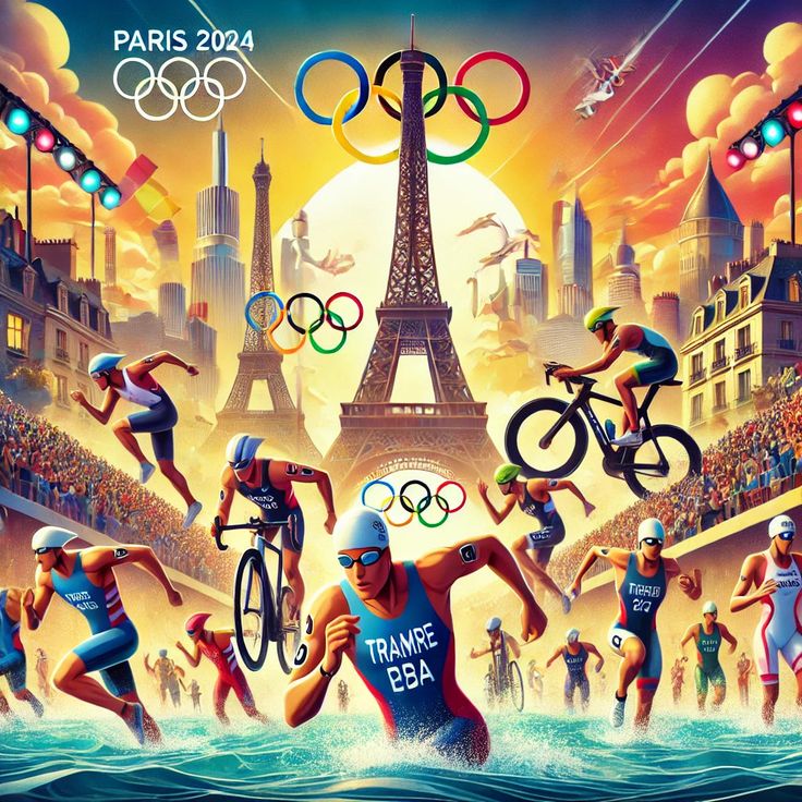
My strength is not as an individual, but as a collective.This week, we will dive into the fascinating world of maps and geography. Our focus will be on understanding key concepts like longitude and latitude, the Equator, and developing essential mapping skills. We will also learn about grid referencing techniques and coordinates, using them to identify and plot locations. Our exploration will include identifying Olympic host cities, examining their geographical distribution, and understanding the significance of map scales.
FOCUS / ARONGA Learning Intentions:
- We are FOCUSING on understanding the basic concepts of mapping, including the layout of the world map.
- We are FOCUSING on comprehending the significance and usage of latitude and longitude in locating places on Earth.
- We are FOCUSING on developing skills in plotting and identifying locations using coordinates.
- We are FOCUSING on identifying and plotting Olympic host cities and discussing their geographical distribution.
- We are FOCUSING on learning about map scales and their practical applications, including measuring distances between locations.
Kotahitanga (Unity):
Mapping and geographical knowledge connect people worldwide, enhancing our understanding of global diversity and fostering a sense of unity, as seen in the shared experiences of events like the Olympics.Learning Intentions:
- Students will understand the basic concepts of mapping and the world map layout.
- Students will comprehend the significance of latitude and longitude and their practical uses.
- Students will develop skills in using coordinates to plot and identify locations on a map.
- Students will identify past and future Olympic host cities and discuss their geographical distribution.
- Students will learn about map scales and how to use them to measure distances between locations.
Success Criteria:
- I can explain the basic concepts of mapping and identify major features on a world map.
- I can describe the significance of latitude and longitude and use them to locate places on Earth.
- I can accurately plot locations using coordinates and grid referencing techniques.
- I can identify and plot Olympic host cities and discuss their geographical distribution.
- I can explain and apply the concept of map scales to measure distances between locations.
Get ready for an engaging week as we map our way through these exciting concepts, exploring the world and its features while connecting them to the global phenomenon of the Olympics. Let's learn together and discover the power of maps!