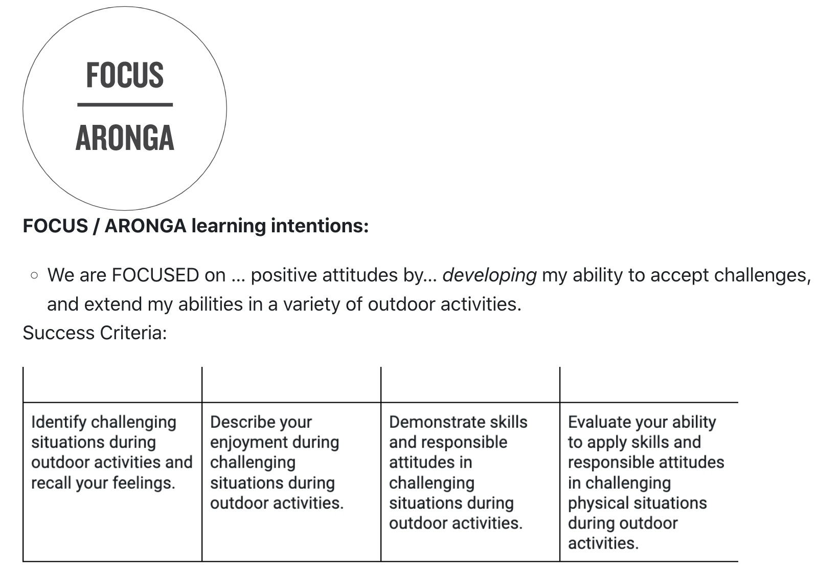
Learning Intentions
- To learn how symbols on a map represent real world features
- To navigate between points on a map, using distance, contours & features
Success Criteria
- I can orientate a map, navigate safely and quickly to various points, and manage being lost
- I've worked together with others to solve problems in a real world setting
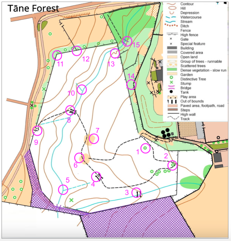
Map Reading
Have a look at the map below. Look at each coloured circle and use the 'key' of symbols to work out what you'd see on the ground. For example, control point 1 shows a small green circle; what would you see if you walked to this point?
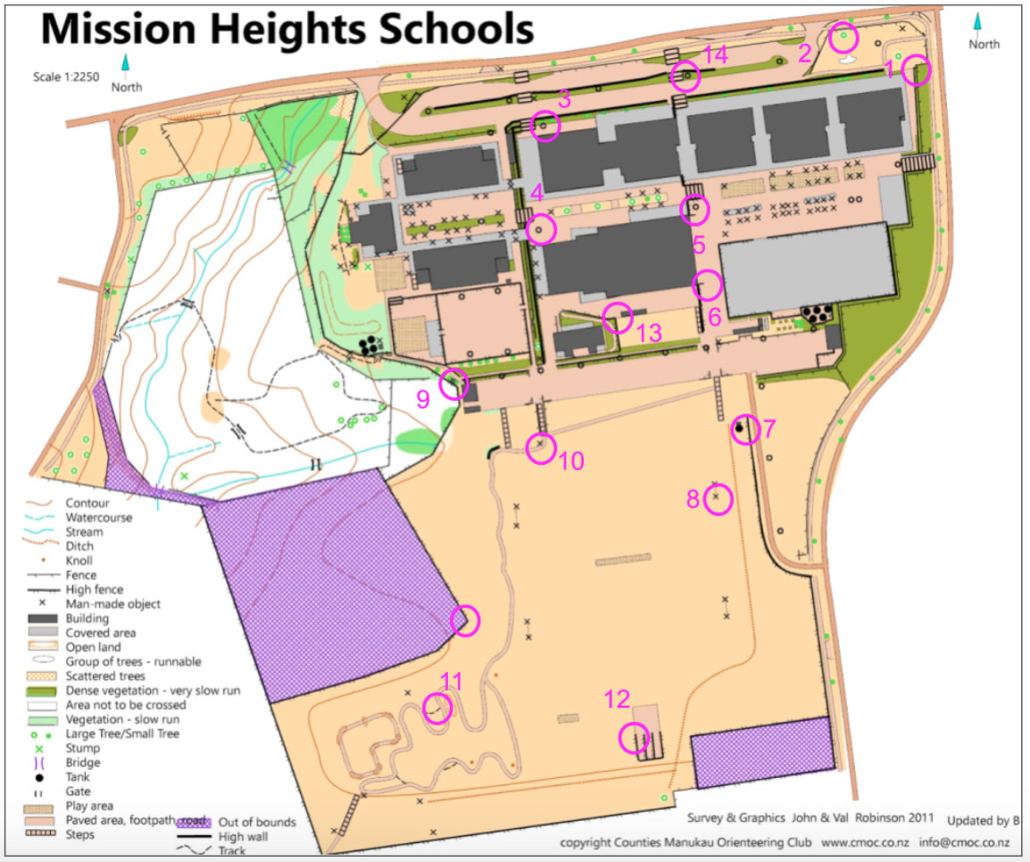
Here's a map of MHJC school grounds. We'll use this map to both set and use orienteering courses.
 Tactics / Skills
Here are some tactics to avoid you getting lost or missing a control point:
- Orientate your map so that directions match the real world.
- Use a stream, fence or tree line as a 'handrail'
- Choose an obvious feature that, if you meet it, you'll know you've gone too far.
- Keep your thumb on the map at the last point that you knew where you were.
- It may be quicker and safer to take a longer path, rather than a shorter bushbash!
- Learn the map symbols so that you know exactly what you're looking for.
- Set a direction on a distant object, rather than looking close to you.
- . . . and many more that you'll work out with practice :)